Location Search: Stroudwater Navigation - All Locations
Canal structures and other points of interest travelling from west to east on the Stroudwater Navigation between Saul Junction, on the Gloucester & Sharpness Canal, and Wallbridge in Stroud.
Tap / click images to enlarge or 'more' for further information.
Locations 1-42 of 74
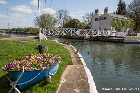
Saul Junction - Gloucester & Sharpness Canal [more]
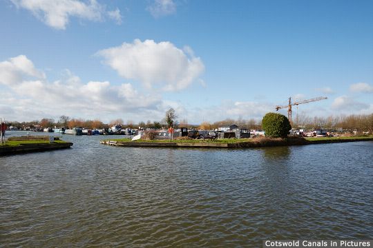
Saul Junction Marina & nearby moorings [more]
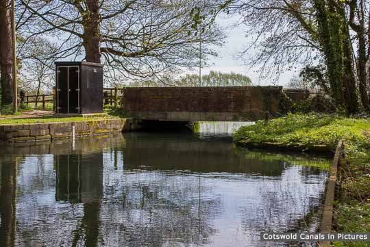
Walk Bridge, Whitminster [more]
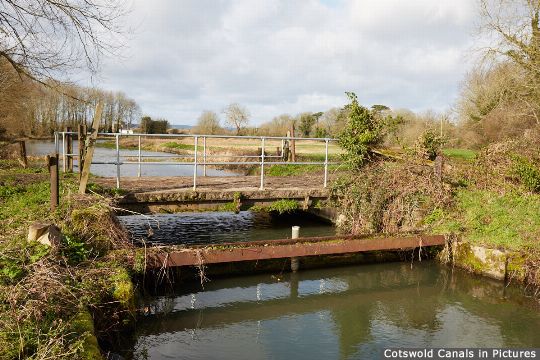
Whitminster Bridge [more]
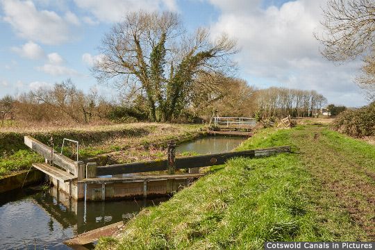
Whitminster Lock [more]
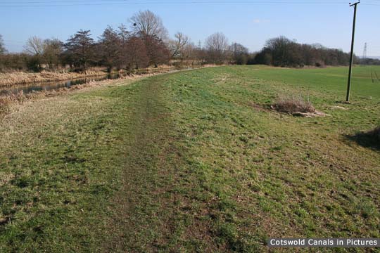
Start of Infill, Whitminster Lock [more]
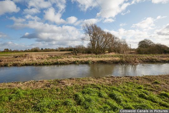
River Frome and site of Lockham Aqueduct [more]
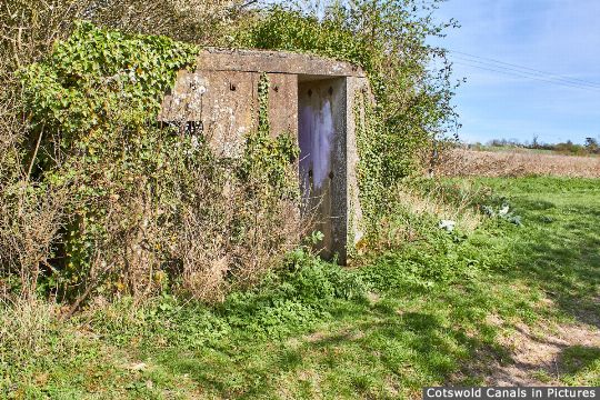
Type 26 Pillbox, Stonepitts Bridge [more]
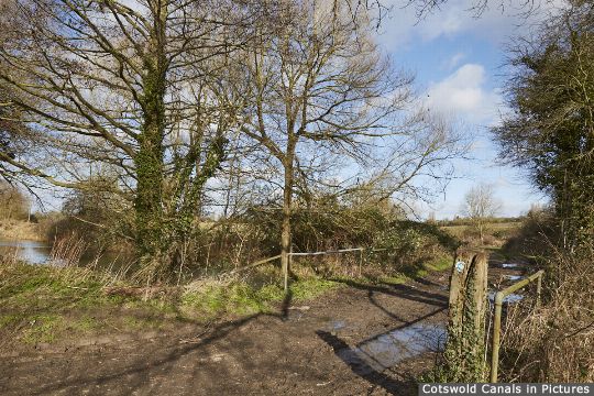
Site of Stonepitts Bridge [more]
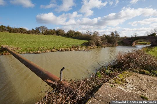
Exolum Oil Pipeline, Whitminster [more]
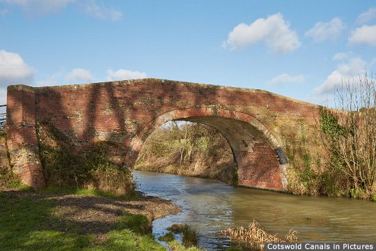
Occupation Bridge, Whitminster [more]
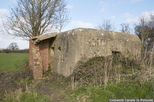
Type 24 Pillbox, near Bristol Road Wharf [more]
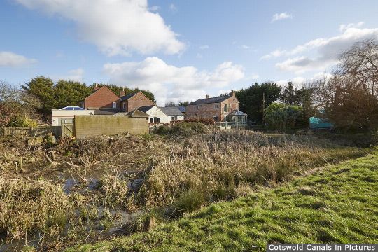
Bristol Road Wharf and 'Missing Mile' [more]
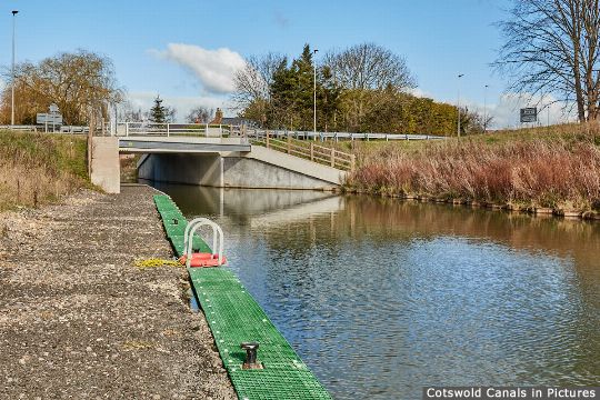
A38 Roundabout Road Bridge - North [more]
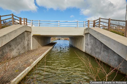
A38 Roundabout Road Bridge - South [more]
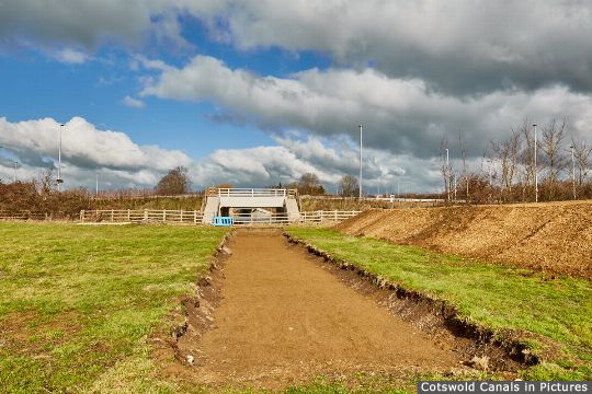
Bristol Road Lock, Whitminster [more]
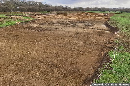
Hyde's Basin, Whitminster [more]
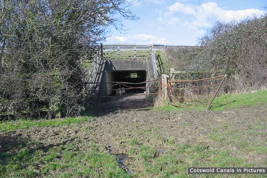
M5 Motorway obstruction [more]
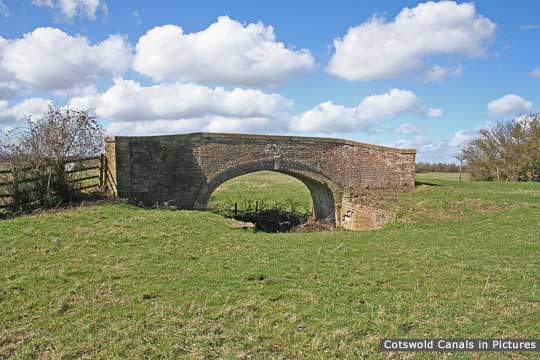
Westfield Bridge [more]

John Robinson (Westfield) Lock [more]

Oldbury Brook Aqueduct [more]

Meadow Mill overflow weir, Chipmans Platt [more]

Dock Lock, Chipmans Platt [more]

Pike Bridge, Eastington [more]

Pike Lock, Eastington [more]
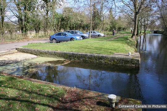
Eastington Slipway [more]

Blunder Lock, Eastington [more]
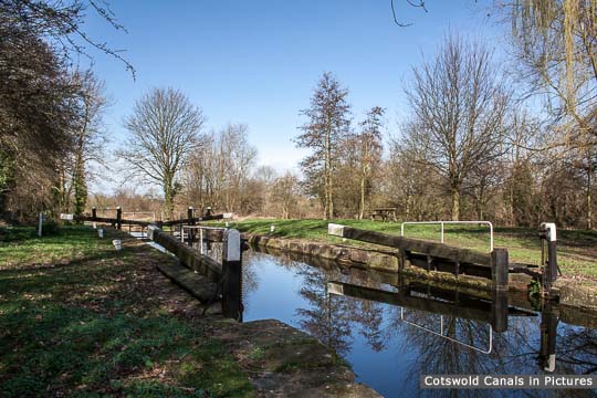
Newtown Lock, Eastington [more]
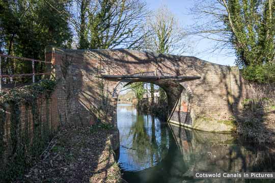
Roving Bridge, Stonehouse [more]
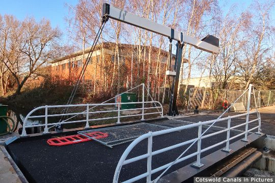
Bond's Mill Bridge, Stonehouse [more]
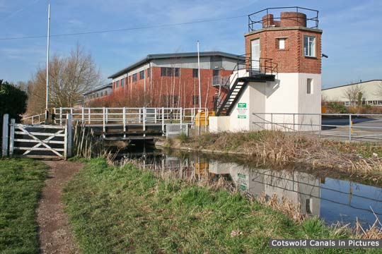
CCT Visitor Centre at Bond's Mill Pill Box [more]
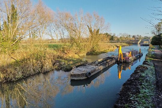
Hoffmans Dam (Site of) [more]
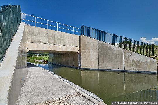
Ocean Jubilee Bridge, Stonehouse [more]
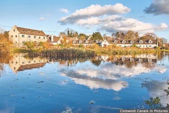
'The Ocean', Stonehouse [more]
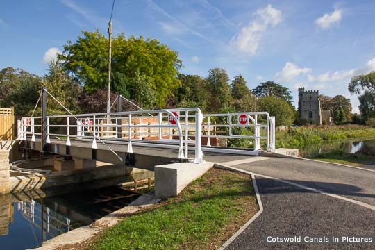
Ocean Swing Bridge, Stonehouse [more]
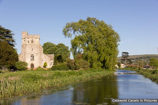
St Cyr's Church, Stonehouse [more]
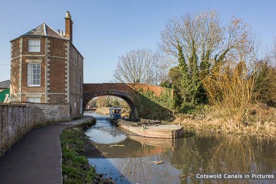
Nutshell Bridge & House, Stonehouse [more]
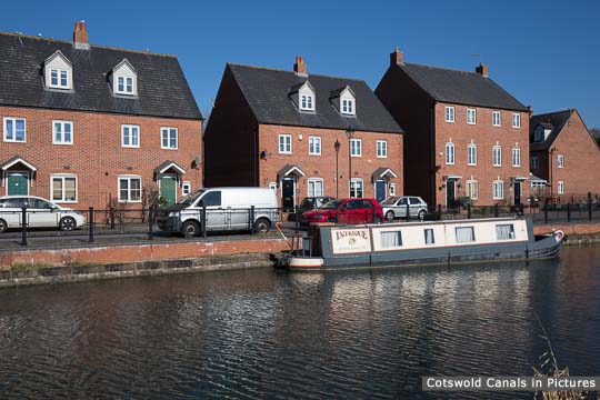
Stonehouse Wharf [more]
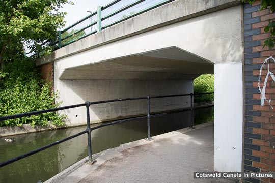
Stonehouse Bridge [more]
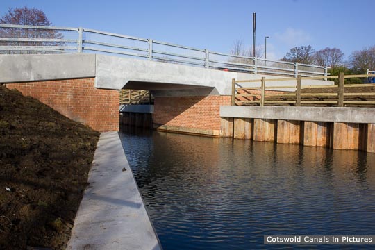
Upper Mills Bridge, Stonehouse [more]
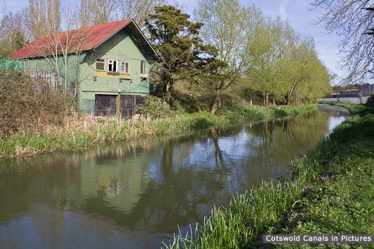
Wycliffe College Former Boathouse [more]
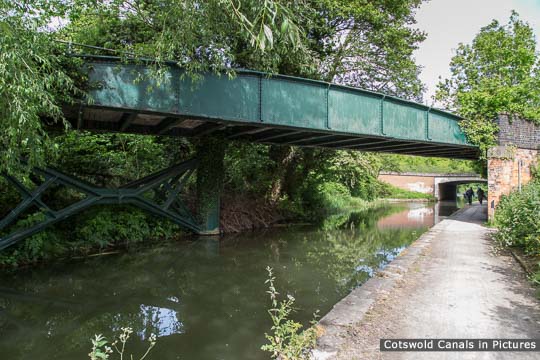
Former Midland Railway Bridge, Stonehouse [more]
Locations 1-42 of 74

