Location Search: Phase 1B Restoration Section - All Locations
Canal structures and other points of interest travelling from west to east on the Cotswold Canals Connected or Phase 1B restoration section of the Stroudwater Navigation between Walk Bridge near Saul Junction and 'The Ocean' in Stonehouse.
Tap / click images to enlarge or 'more' for further information.
Locations 1-29 of 29
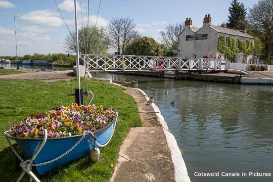
Saul Junction - Gloucester & Sharpness Canal [more]
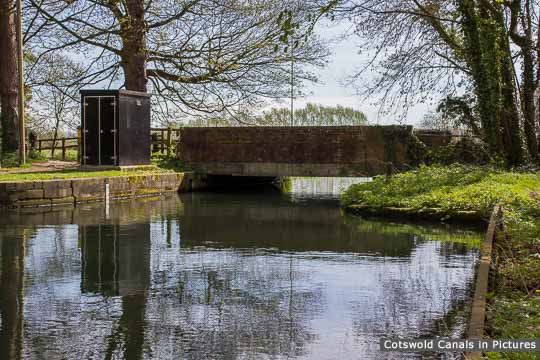
Walk Bridge, Whitminster [more]
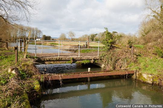
Whitminster Bridge [more]
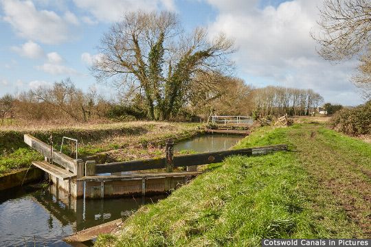
Whitminster Lock [more]
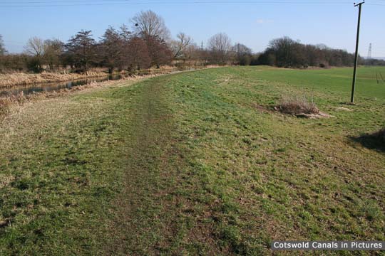
Start of Infill, Whitminster Lock [more]
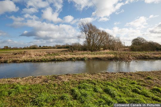
River Frome and site of Lockham Aqueduct [more]
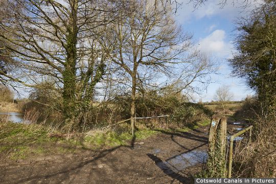
Site of Stonepitts Bridge [more]
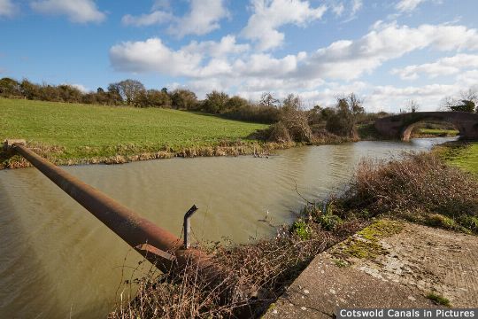
Exolum Oil Pipeline, Whitminster [more]
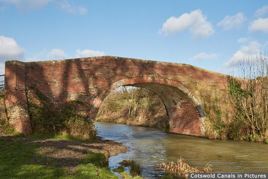
Occupation Bridge, Whitminster [more]
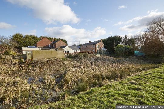
Bristol Road Wharf and 'Missing Mile' [more]
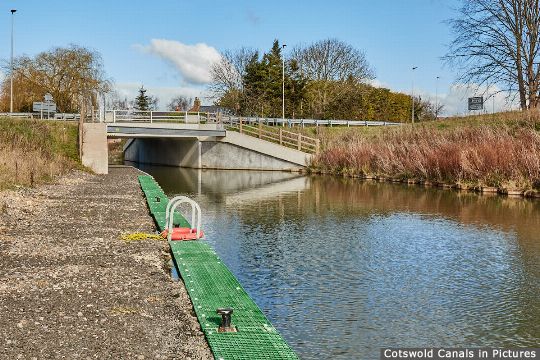
A38 Roundabout Road Bridge - North [more]
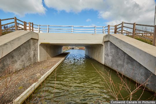
A38 Roundabout Road Bridge - South [more]
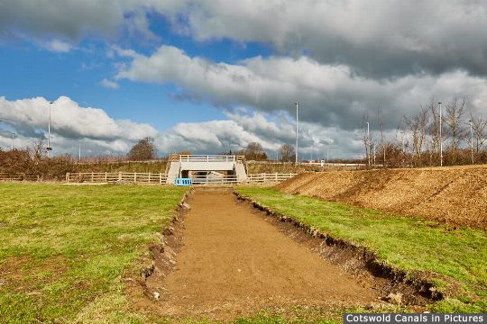
Bristol Road Lock, Whitminster [more]
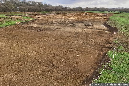
Hyde's Basin, Whitminster [more]
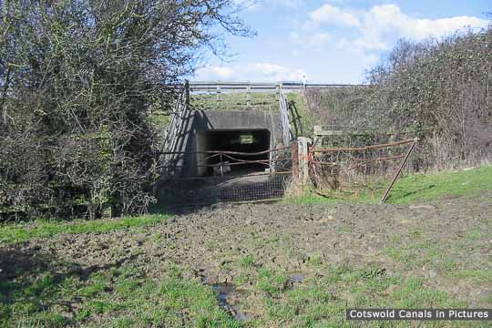
M5 Motorway obstruction [more]
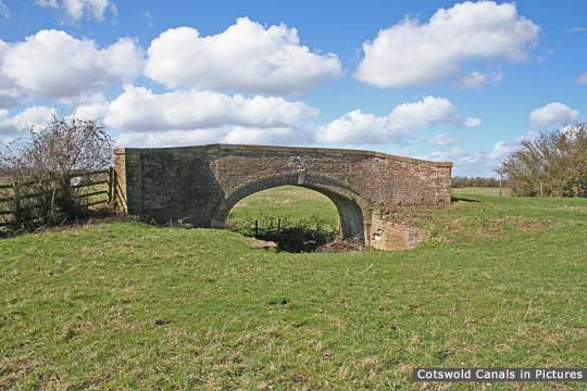
Westfield Bridge [more]

John Robinson (Westfield) Lock [more]

Oldbury Brook Aqueduct [more]

Meadow Mill overflow weir, Chipmans Platt [more]

Dock Lock, Chipmans Platt [more]

Pike Bridge, Eastington [more]

Pike Lock, Eastington [more]
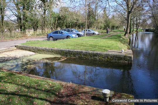
Eastington Slipway [more]

Blunder Lock, Eastington [more]
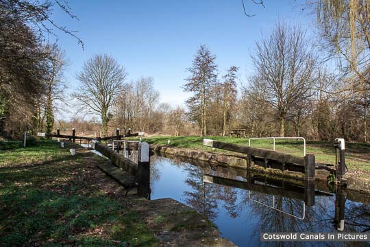
Newtown Lock, Eastington [more]
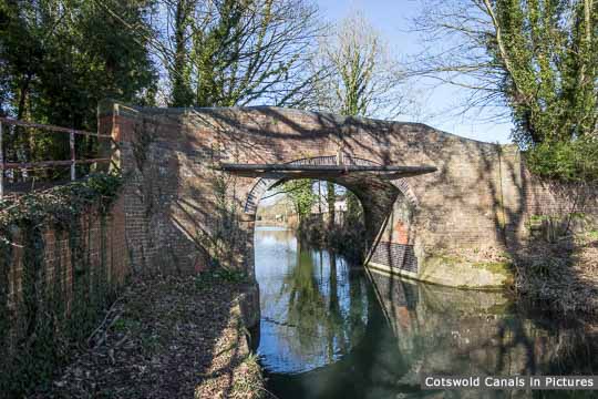
Roving Bridge, Stonehouse [more]
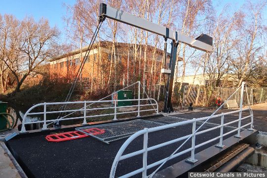
Bond's Mill Bridge, Stonehouse [more]
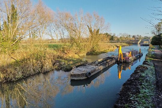
Hoffmans Dam (Site of) [more]
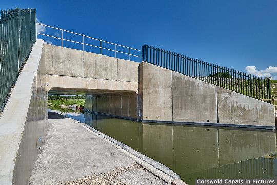
Ocean Jubilee Bridge, Stonehouse [more]

