
The term 'Old Stroudwater' refers to the original 1500 yard (1.4km) section of the Stroudwater Navigation between Saul Junction, on the Gloucester & Sharpness Canal and the River Severn at Upper Framilode.
Locking into and navigating the river at Upper Framilode, which is tidal at this point, could be somewhat hazardous. The Gloucester & Sharpness Canal also provides access to the river (and at a safer location). For these reasons it is unlikely that this section will ever be fully restored.
Some of the canal in this section was filled-in when improved flood defences were put in some years ago, but a footpath exists along most of its length. The pictures below show points of interest along the route starting at Stroudwater Lock at Saul Junction and progressing westwards to the infilled River Severn lock (although this is on private property).
Locations 1-7 of 7

Stroudwater Lock, Saul Junction
Canal: Old Stroudwater
Restoration Phase: n/a
Status: Restored
Access: Footpath
Listed Building: Grade II (1986)
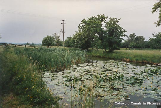
Infilled canal - Saul
Canal: Old Stroudwater
Restoration Phase: n/a
Status: Infilled
Access: Footpath
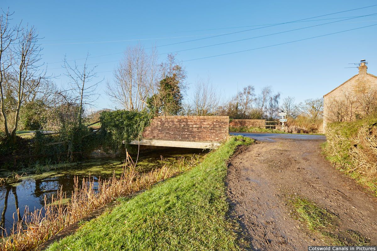
Saul Bridge, Upper Framilode
Canal: Old Stroudwater
Restoration Phase: n/a
Status: Unrestored
Access: Towpath / highway
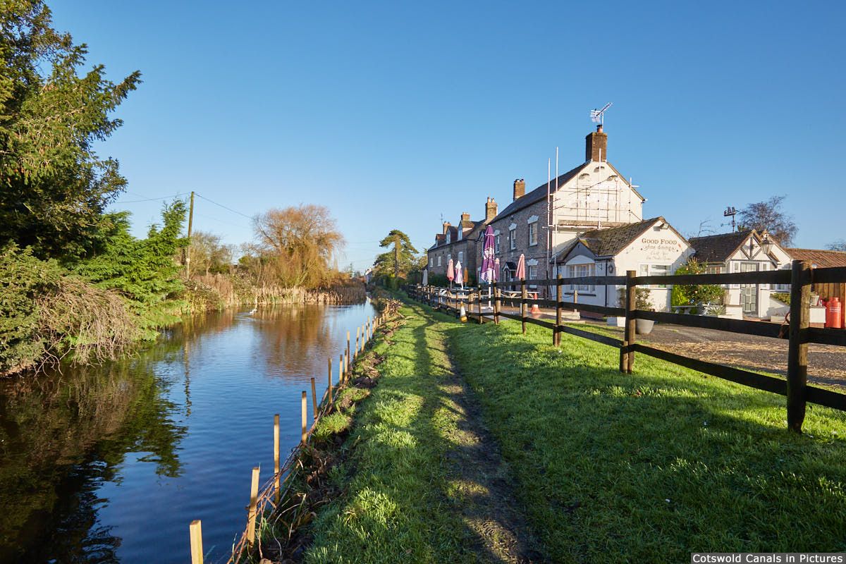
The Ship Inn, Upper Framilode
Canal: Old Stroudwater
Restoration Phase: n/a
Status: n/a
Access: Towpath / highway
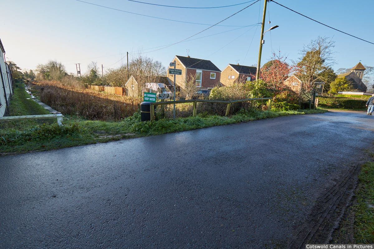
Site of Framilode Bridge, Upper Framilode
Canal: Old Stroudwater
Restoration Phase: n/a
Status: Infilled
Access: Highway / towpath
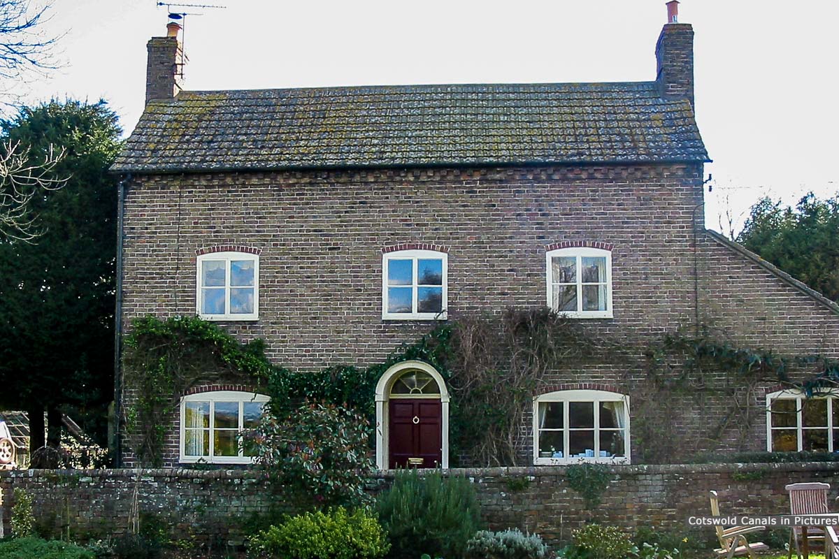
Former Canal Basin & Buildings, Framilode Lock
Canal: Old Stroudwater
Restoration Phase: n/a
Status: Infilled
Access: Both private residences - no public access
Listed Building: Grade II (1980)
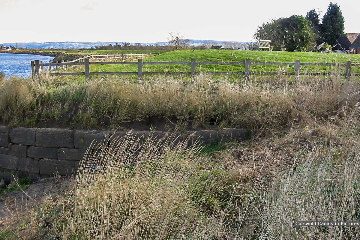
Framilode Lock, River Severn
Canal: Old Stroudwater
Restoration Phase: n/a
Status: Infilled
Access: No public access
Listed Building: Grade II (1993)