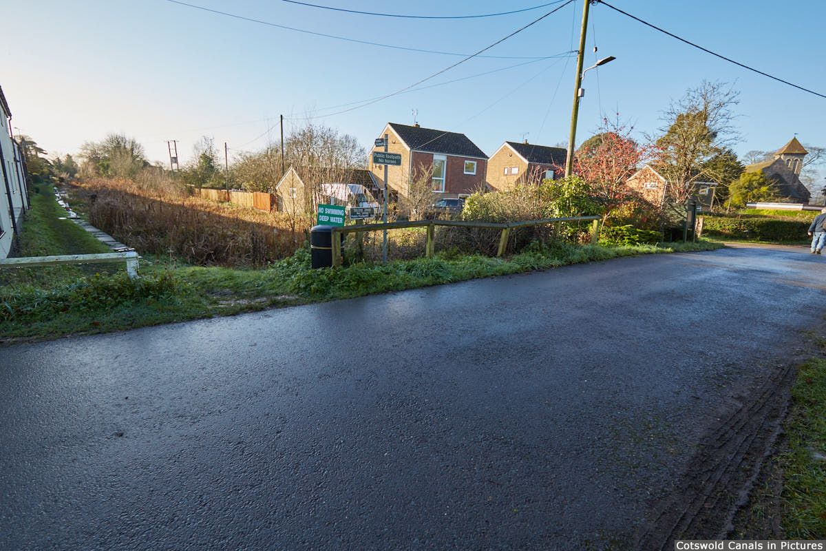
This was the site Framilode Bridge, a swing bridge which has long since been removed and backfilled.
This is where Stroudwater Canal is first visible, being infilled from the River Severn through the grounds of the adjacent Lock House.
Walkers
This is the closest point to the River Severn it is possible to get whilst walking the Stroudwater. Two further locations heading towards the river are included in the mobile phone app for completeness, as it is not possible to see these views without accessing private property.
(Tap / click images to enlarge)
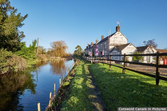
Site of Framilode Bridge - looking along canal towards Saul
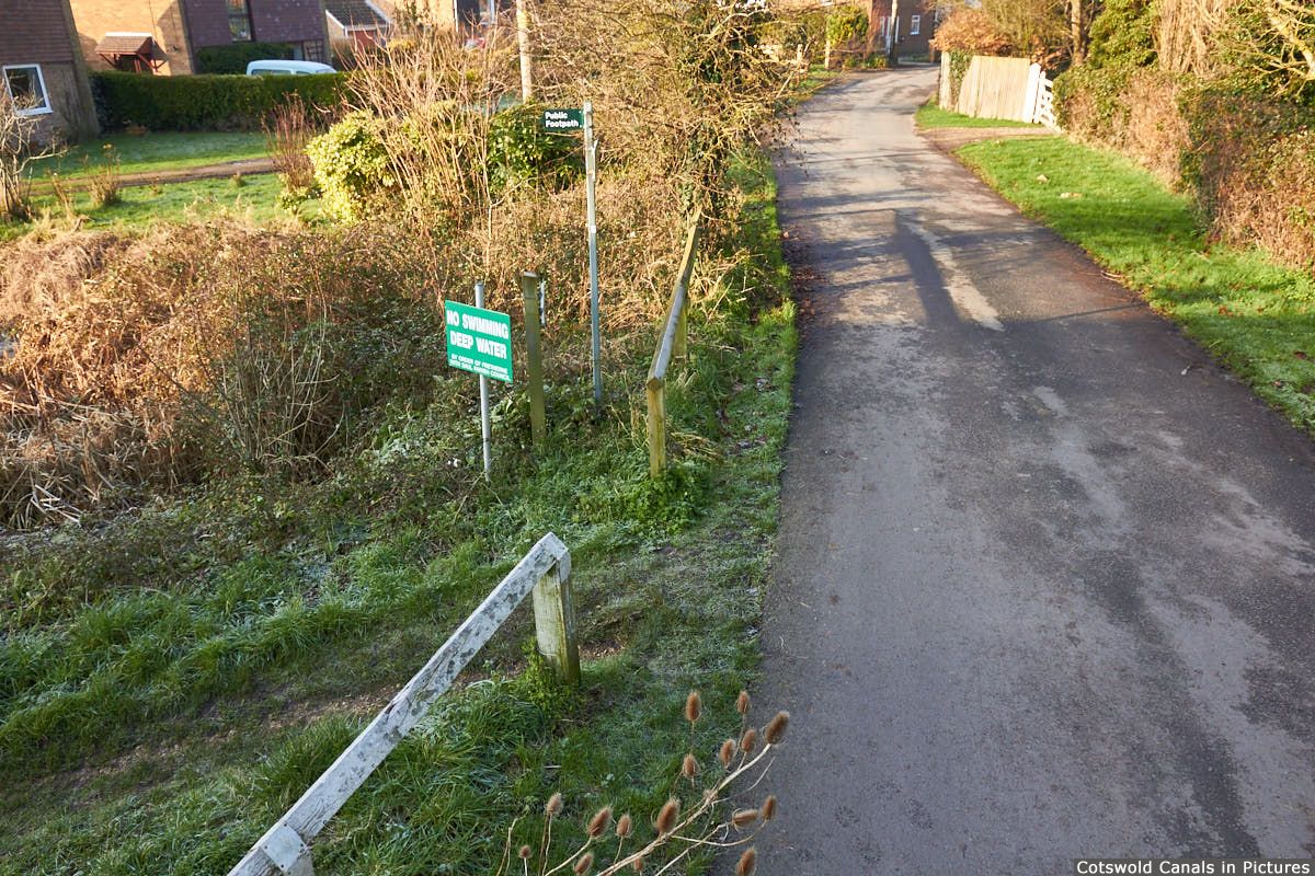
Site of Framilode Bridge - canal passed left to right (river to right)
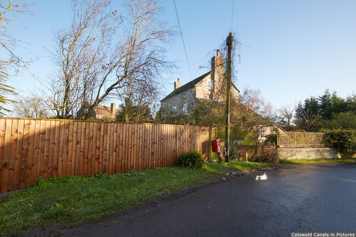
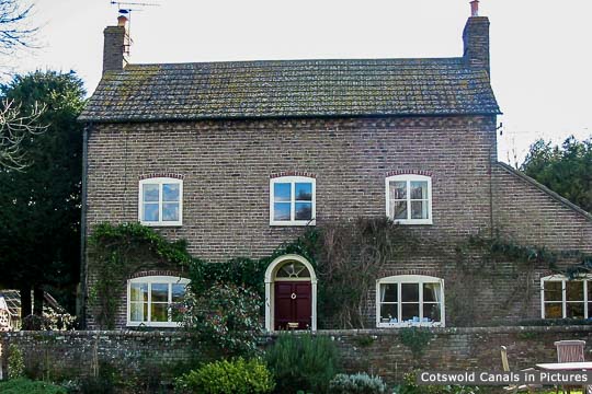
View of Lock House from site of Framilode Bridge
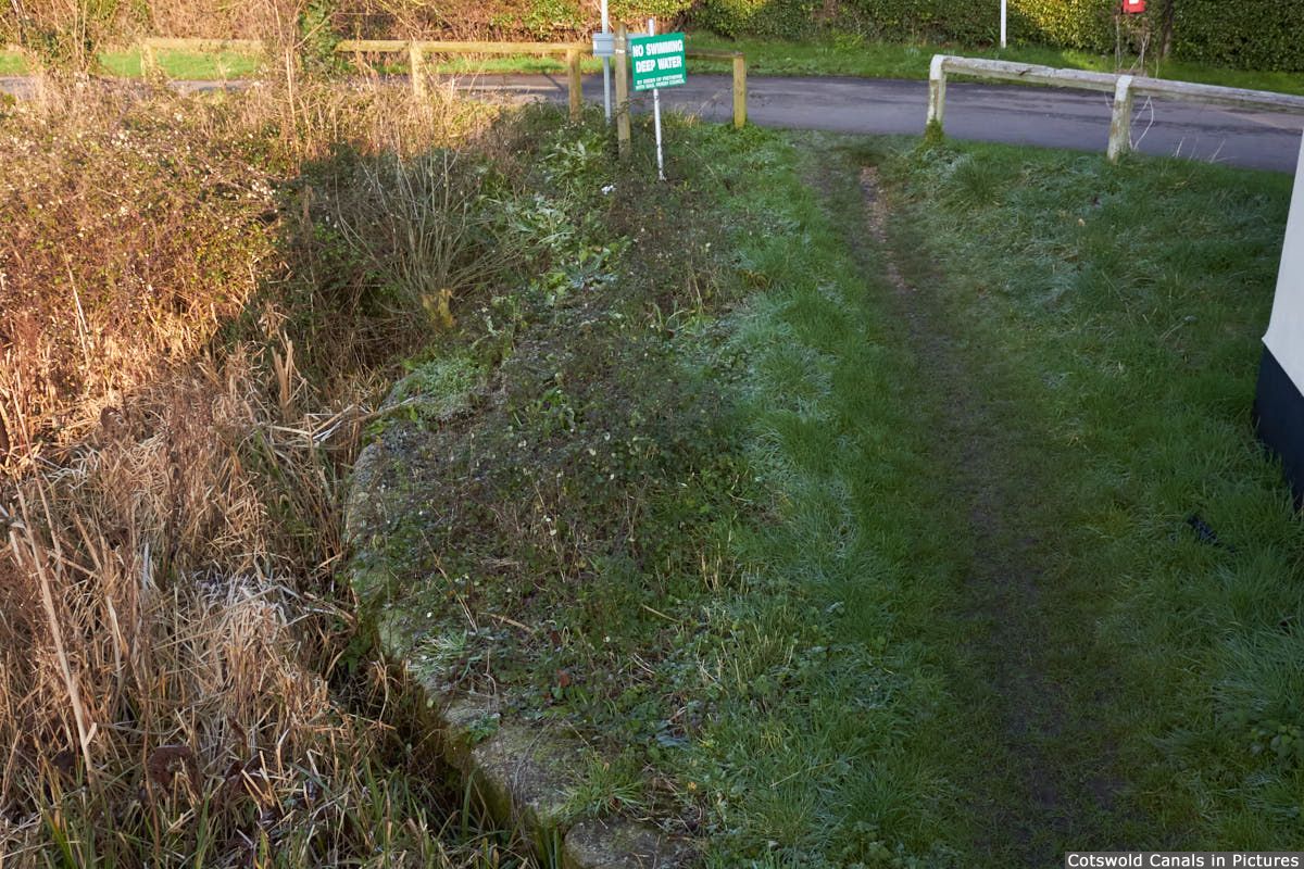
Site of Framilode Bridge - with original bridge retaining wall visible
'Old Stroudwater' is a term that has been adopted to describe the section of the canal between Saul Junction and Upper Framilode.
Before the opening of the Gloucester & Sharpness Canal, this was the route taken by the Stroudwater Navigation to connect into the River Severn.
Some of the canal in this section is now infilled, and locking into and navigating the river at Upper Framilode, which is also tidal at this point, could be somewhat hazardous.
For these reasons, it is unlikely that this section will be fully restored through to the River Severn.