The Cirencester Arm was about 1¼ miles (2km) long and connected the main canal line at Siddington to a basin and wharf in Sheep Street, Cirencester.
There was an original canal company-owned wharf house alongside the basin which was demolished in the mid-1970s to make way for road improvements, long after the canal had been infilled.
The Cirencester Arm was on the summit level of the Thames & Severn (with no locks) and, as well as connecting Cirencester to the canal network, provided a means of transferring much-needed water from the River Churn at Barton Mill in Cirencester to the main canal line.
All the Cirencester Arm from Love Lane to its terminus at Sheep Street has been lost to redevelopment and reinstatement is not a viable proposition.
A section of canal between Pool's Bridge and Love Lane, a distance of about 750m, does still exist and can be walked. The section nearest Pool's Bridge is infilled but there is a length of surviving channel further on.
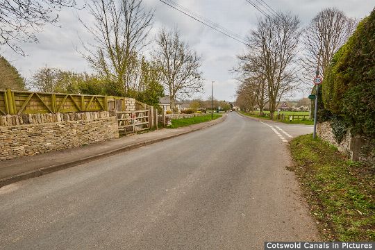
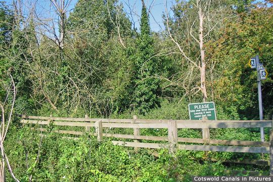
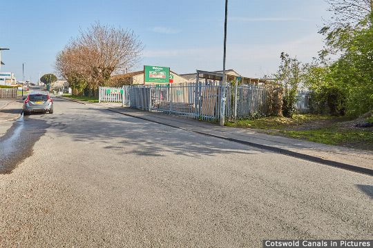
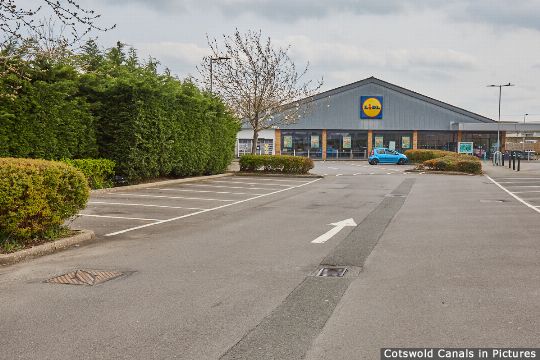
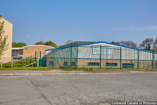
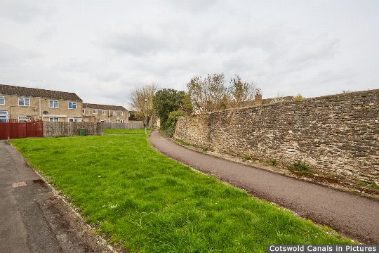
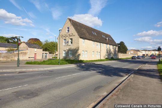
The photos below give an overview of the former route starting at the site of Pool's Bridge in Siddington (close to the junction with the main canal line) and ending at the site of the former canal basin and wharf.
Locations 1-7 of 7
Site of Pool's Bridge, Siddington
Canal: Cirencester Arm
Restoration Phase: -
Status: Infilled
Access: Highway
Footpath crosses canal, Siddington
Canal: Cirencester Arm
Restoration Phase: -
Status: Infilled
Access: Towpath
Start of Cirencester Arm Infilling
Canal: Cirencester Arm
Restoration Phase: -
Status: Infilled
Access: Highway
Cirencester Arm under Trading Estate
Canal: Cirencester Arm
Restoration Phase: -
Status: Infilled
Access: Highway
Site of Chesterton Lane Bridge
Canal: Cirencester Arm
Restoration Phase: -
Status: Infilled
Access: Highway
Cirencester Arm under Housing
Canal: Cirencester Arm
Restoration Phase: -
Status: Infilled
Access: Towpath
Site of Cirencester Basin & Wharf House
Canal: Cirencester Arm
Restoration Phase: -
Status: Infilled
Access: Highway


