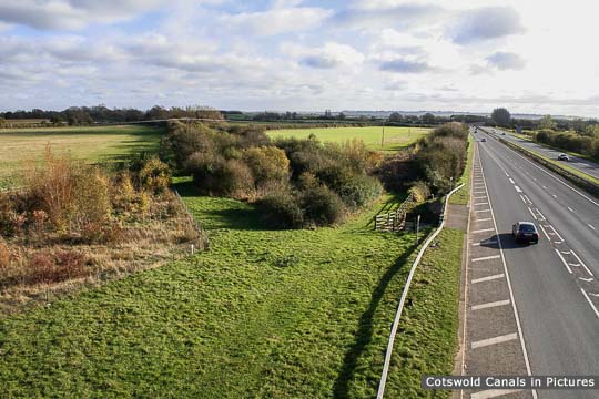
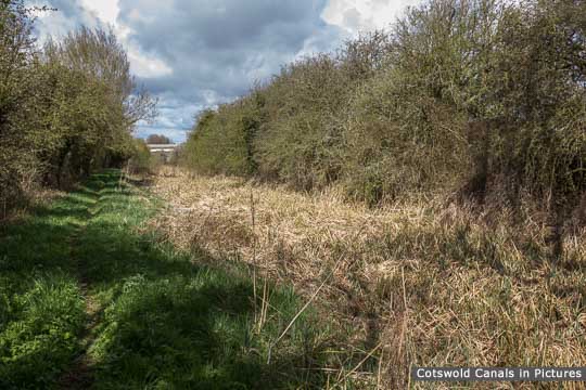
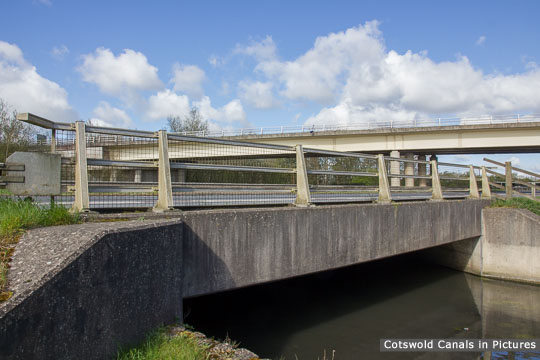
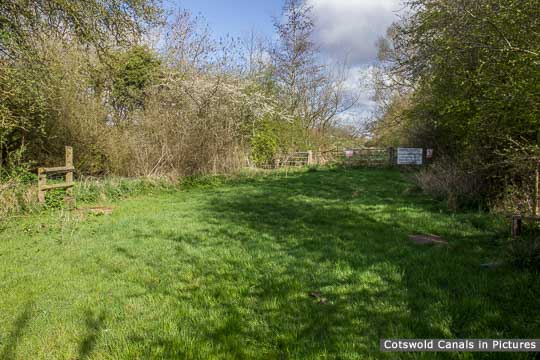
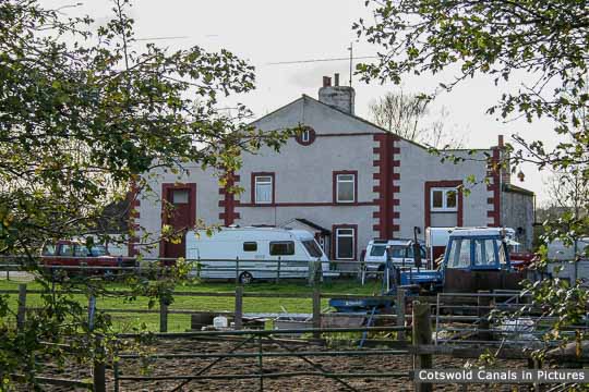
The canal is between the line of trees at an angle to the Cricklade bypass in the top photo. The map reference marks the end of the canal infilling that started at Latton. The flood relief culvert near the end of the infilling (third photo) is not part of the canal, and is not suitable for restoration purposes due to lack of headroom. Instead the canal will use another culvert near Latton (currently buried) to pass under the A419.
(Tap / click images to enlarge)


