A collection of photographs taken by Richard Courtenay Lord in the late 1950s and early 1960s which, in many cases, show views of the canals that can no longer be seen.
Click images to enlarge.
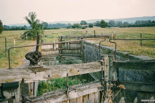
1. Bristol Road Lock, looking towards Hyde's Bridge (demolished)
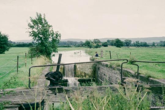
2. Bristol Road Lock after top gates removed

3. View from Pike Bridge to Dock Lock
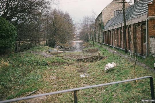
4. View from Lodgemore Bridge towards Stroud
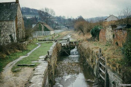
5. Bowbridge Lock, Stroud
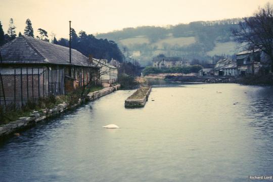
6. Brimscombe Port before infilling
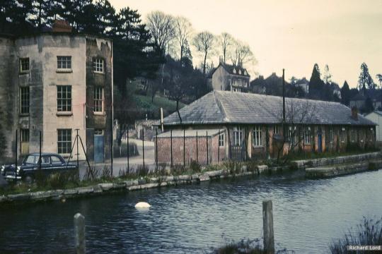
7. Brimscombe Port before infilling
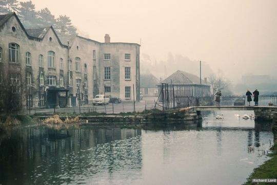
8. Brimscombe Port before infilling and demolition
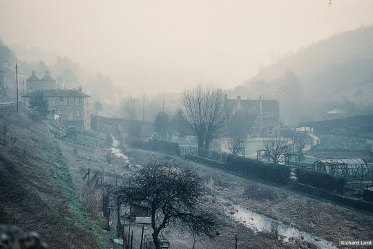
9. View towards Ile's Mill Bridge, Brimscombe
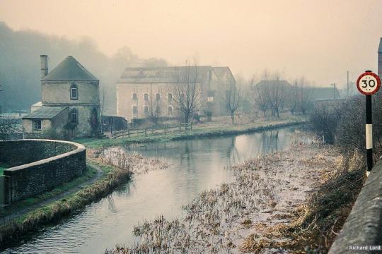
10. Chalfo9rd Roundhouse and Wharf
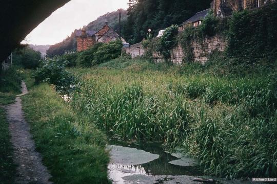
11. View from under Chapel Bridge - since demolished
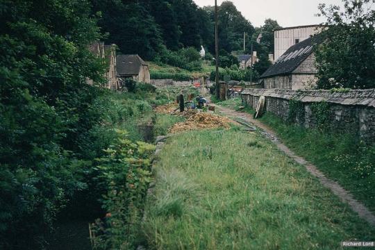
12. Chapel Lock, Chalford - now infilled - and installation of new sewer
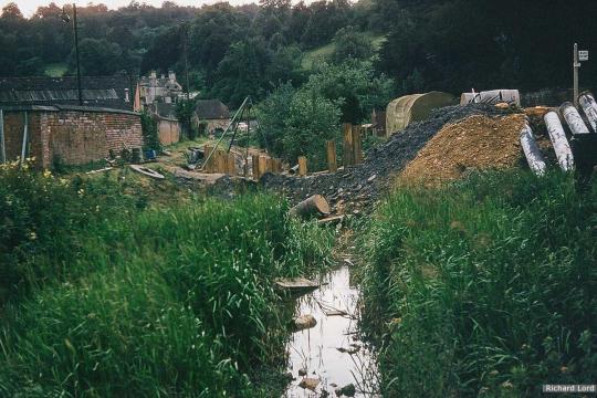
13. Sewer being installed alongside A419 at Chalford before road widening
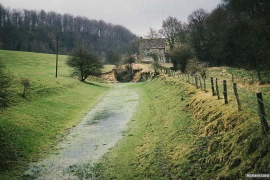
14. Whitehall Lower Lock
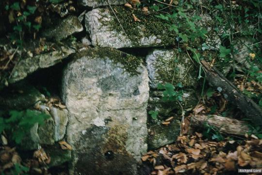
15. Milestone Siccaridge Upper Lock - still there today
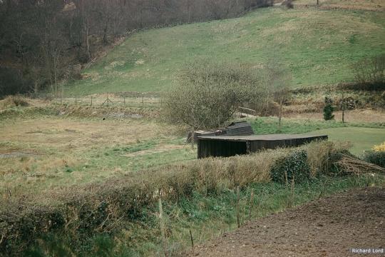
16. Daneway Basin with empty canal beyond.
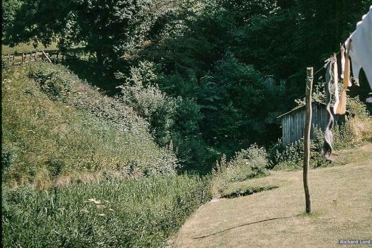
17. Washing outside cottage at Daneway next to Tunnel Portal!
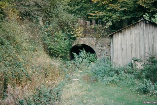
18. Daneway Portal of Sapperton Canal Tunnel
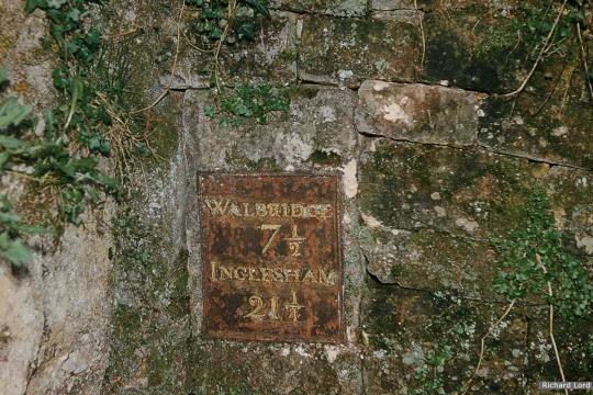
19. Milestone Plate, Daneway Tunnel Portal (since removed)
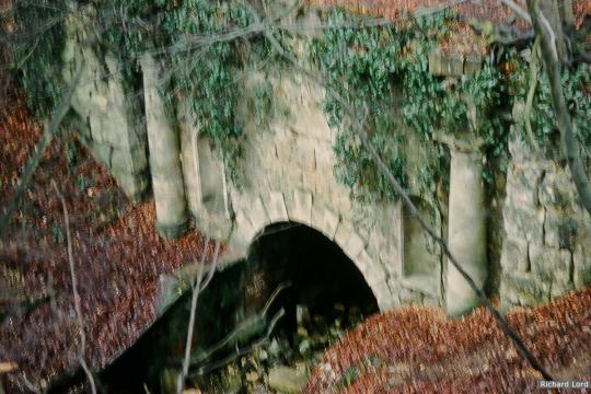
20. Sapperton Canal Tunnel - Coates Portal

21. Tunnel House Inn
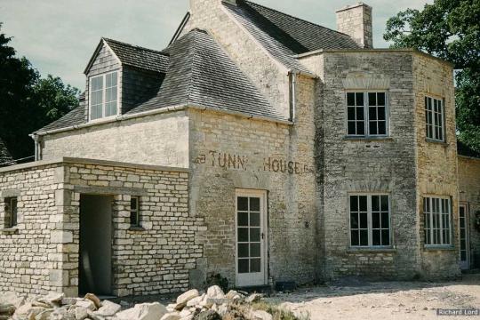
22. Tunnel House Inn
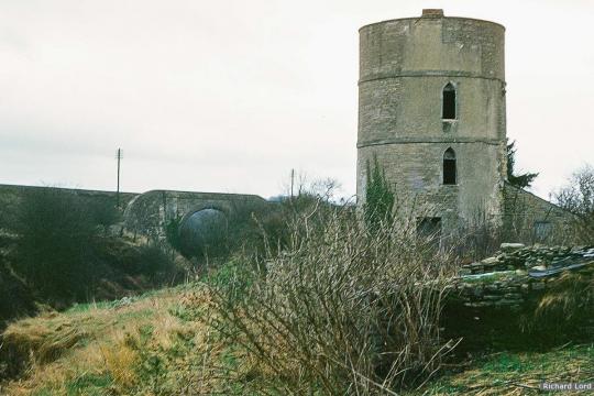
23. Coates Roundhouse & Skew Bridge
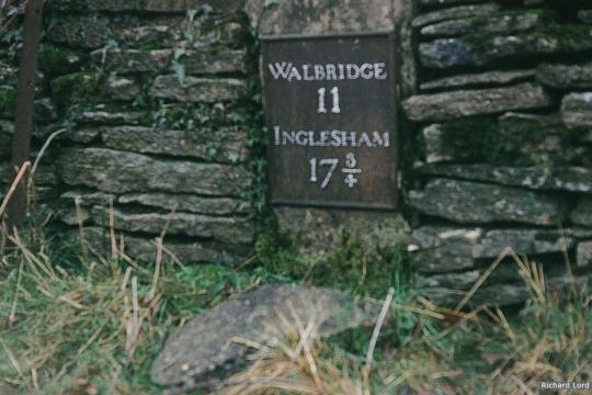
24. Milestone plate near Thames Head (since removed)

25. Thames Head Wharf, looking towards A433
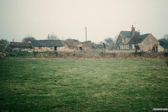
26. Site of Thames Head Pumping Station (centre)
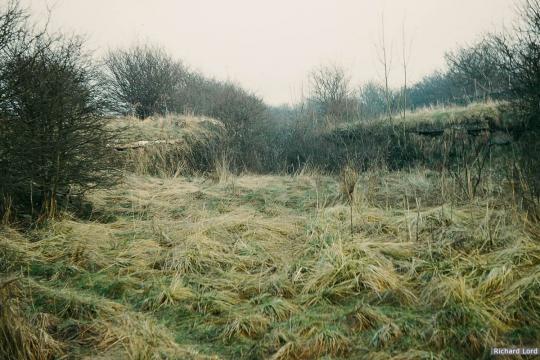
27. Canal at Thames Head Pumping Station
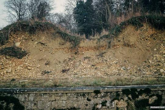
28. Smerrill Aqueduct shortly after removal of structure
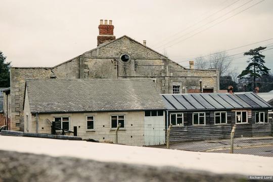
29. Wharf House Cirencester basin - since demolished
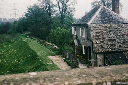
30. Blue House, Furzenleaze, Upper Siddington
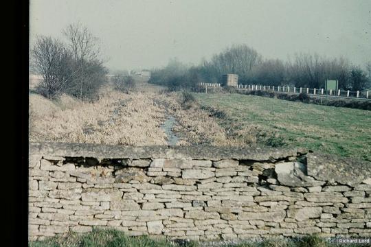
31. Canal looking towards Cricklade Wharf with 'old' A419 to right
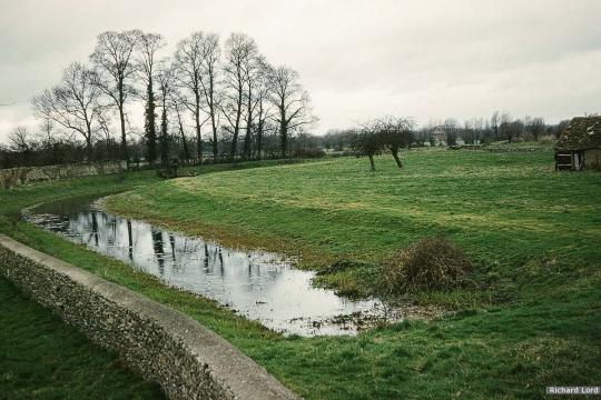
32. Canal south of A419 looking towards Latton Junction
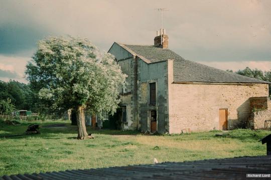
33. Cricklade Wharf House
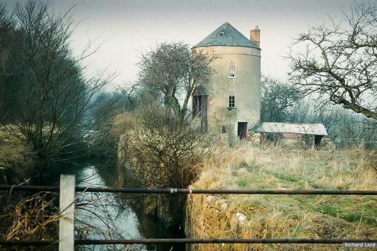
34. Cerney Wick Roundhouse
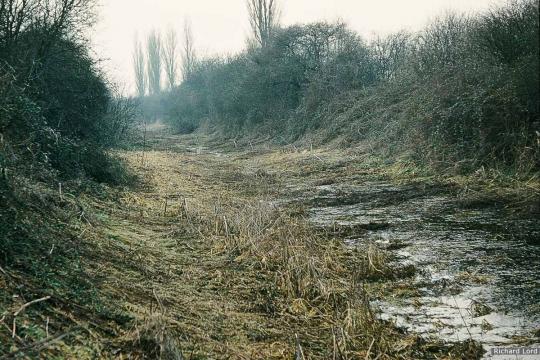
35. Canal near Kempsford
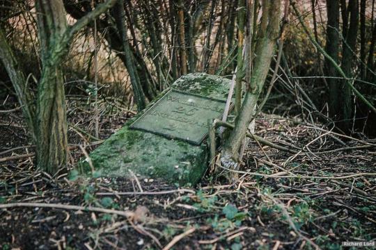
36. Milestone near Kempsford (since removed)
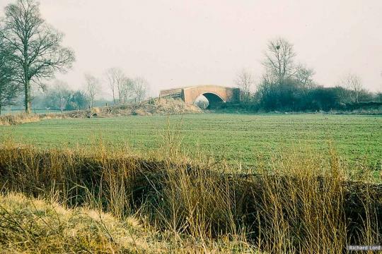
37. Oatlands Bridge, Kempsford, before canal infilled


