All of the Cirencester Arm north of the ring-road has been lost and its route almost impossible to determine without reference to an old map.
However, there is a footpath that runs through a 1970s housing development that more-or less follows the route of the old towpath - not that you'd know it though, as there are no clues.
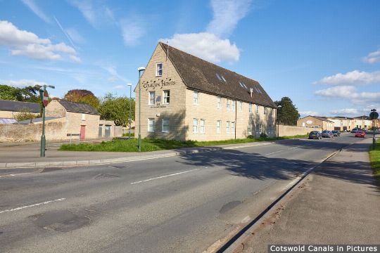
This path on the northern side of the ring-road underpass is a continuation of the former towpath at site of Chesterton Lane Bridge.
(Tap / click images to enlarge)